
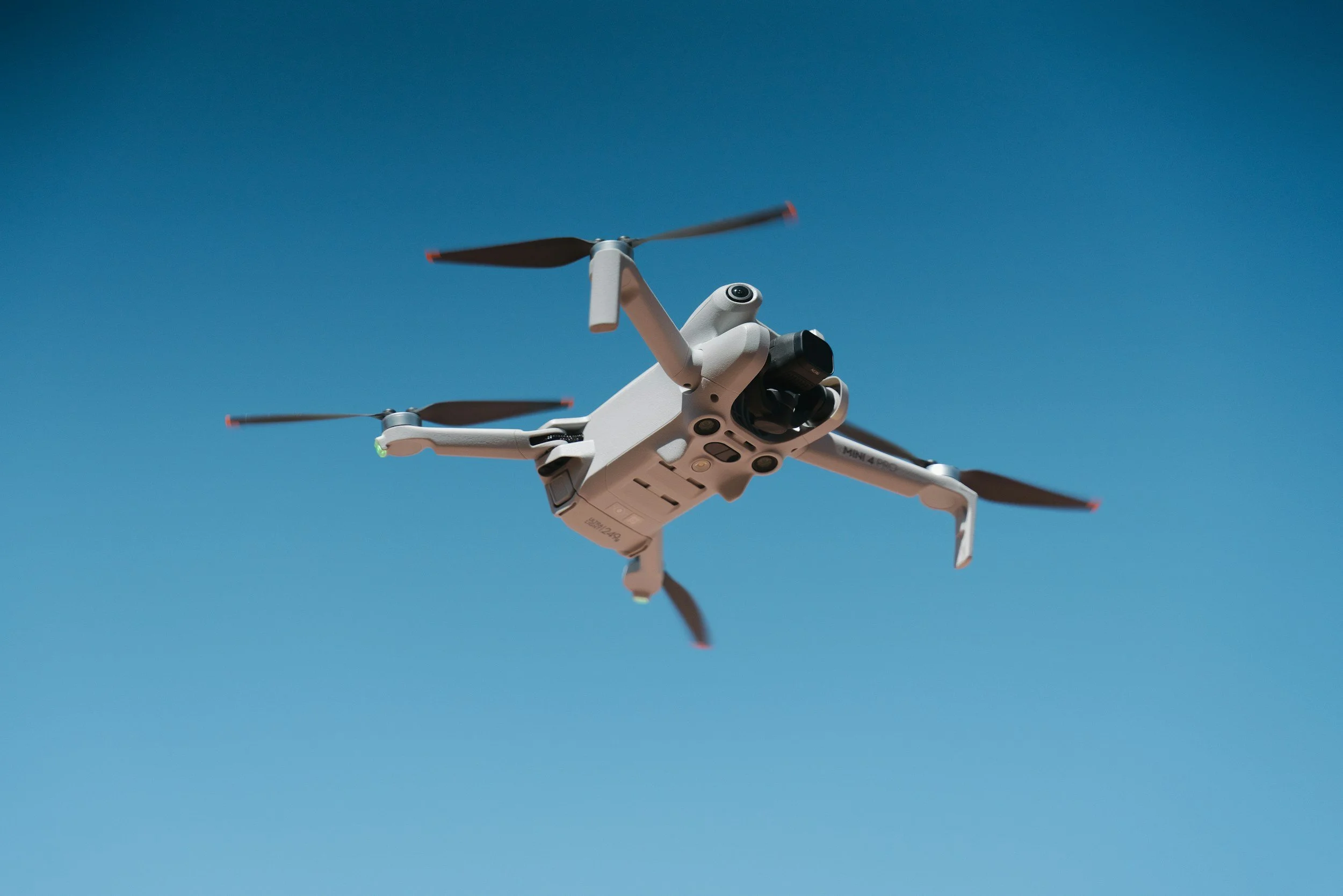
Drone Photography & Video in Jacksonville, Florida
BrianTripPhoto
A Different Perspective With a Clear Purpose
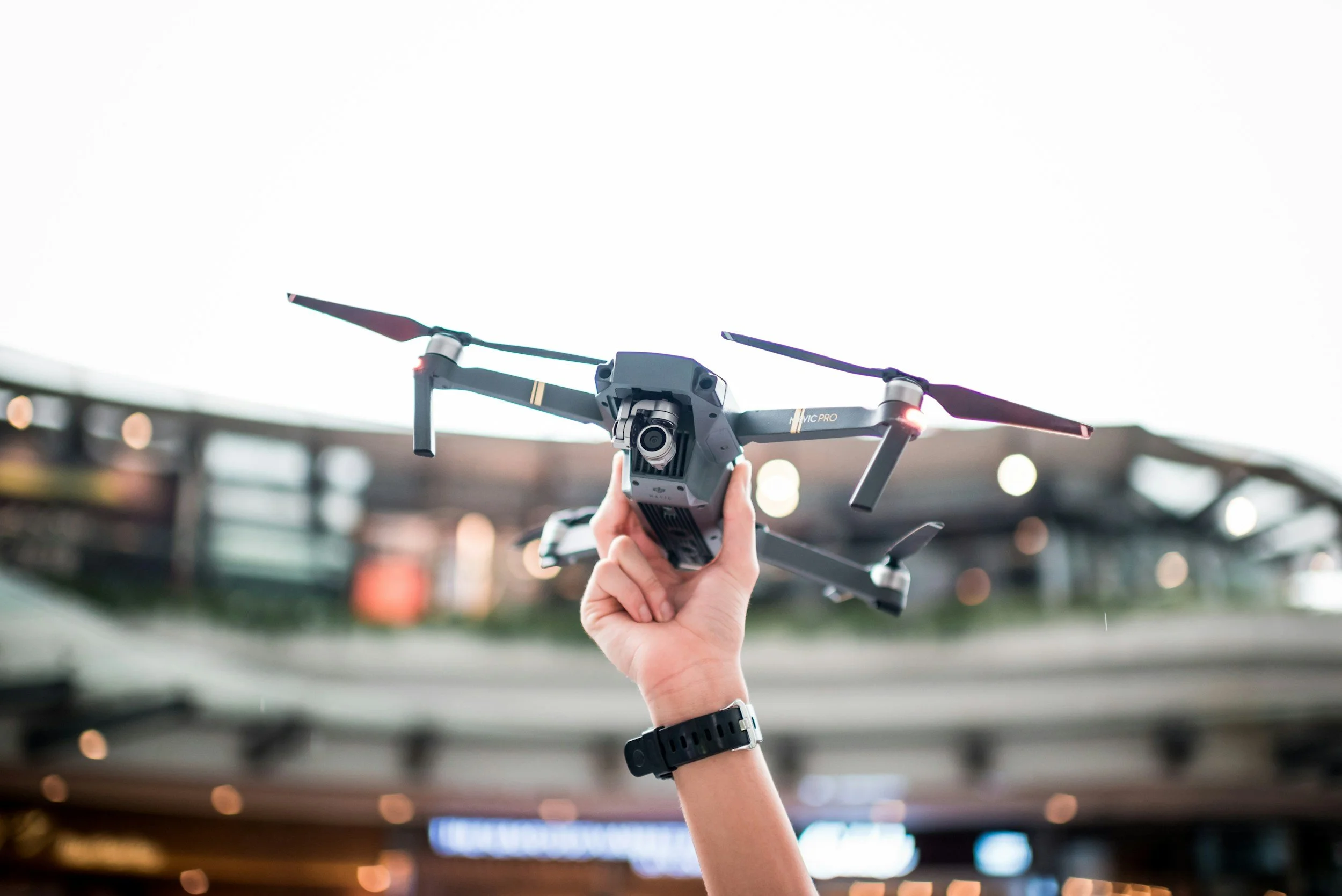
Drone photography and video can create an impressive view.
But the view alone is not the goal.
I start by asking what the aerial perspective needs to communicate, then capture the images and footage around that purpose.
BrianTripPhoto provides aerial photography and video in Jacksonville and Northeast Florida for businesses, construction projects, events, and organizations that need to show place, progress, scale, and experience from a perspective traditional photography cannot always provide.
Website & Branding | Construction Monitoring | Events
Aerial Content Should Have a Job to Do
Not every project needs drone photography.
When it does, the aerial perspective should help someone understand something they could not see as clearly from the ground.
That might mean showing:
Where your business is located
The scale of a property or facility
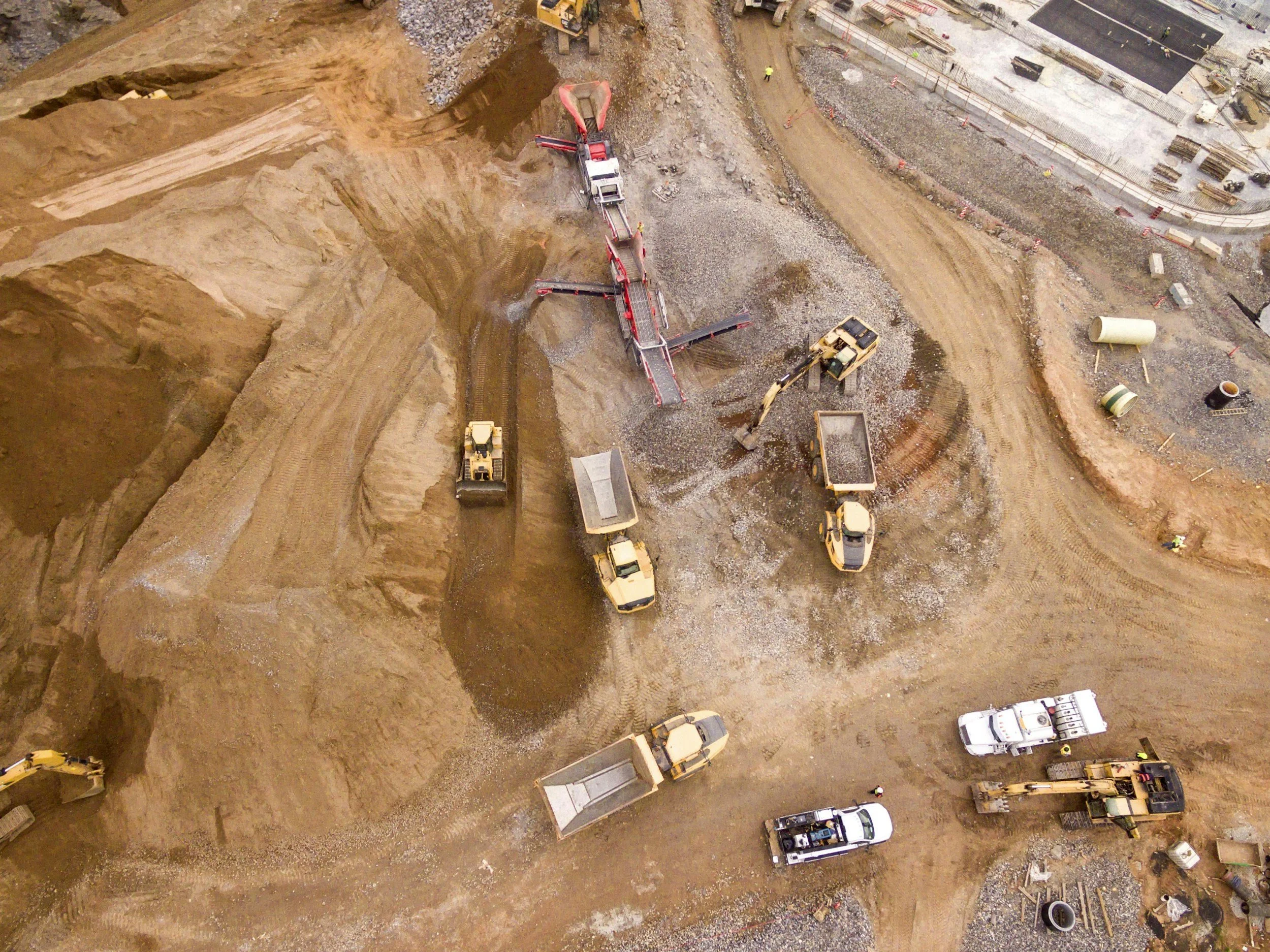
How a construction project is progressing
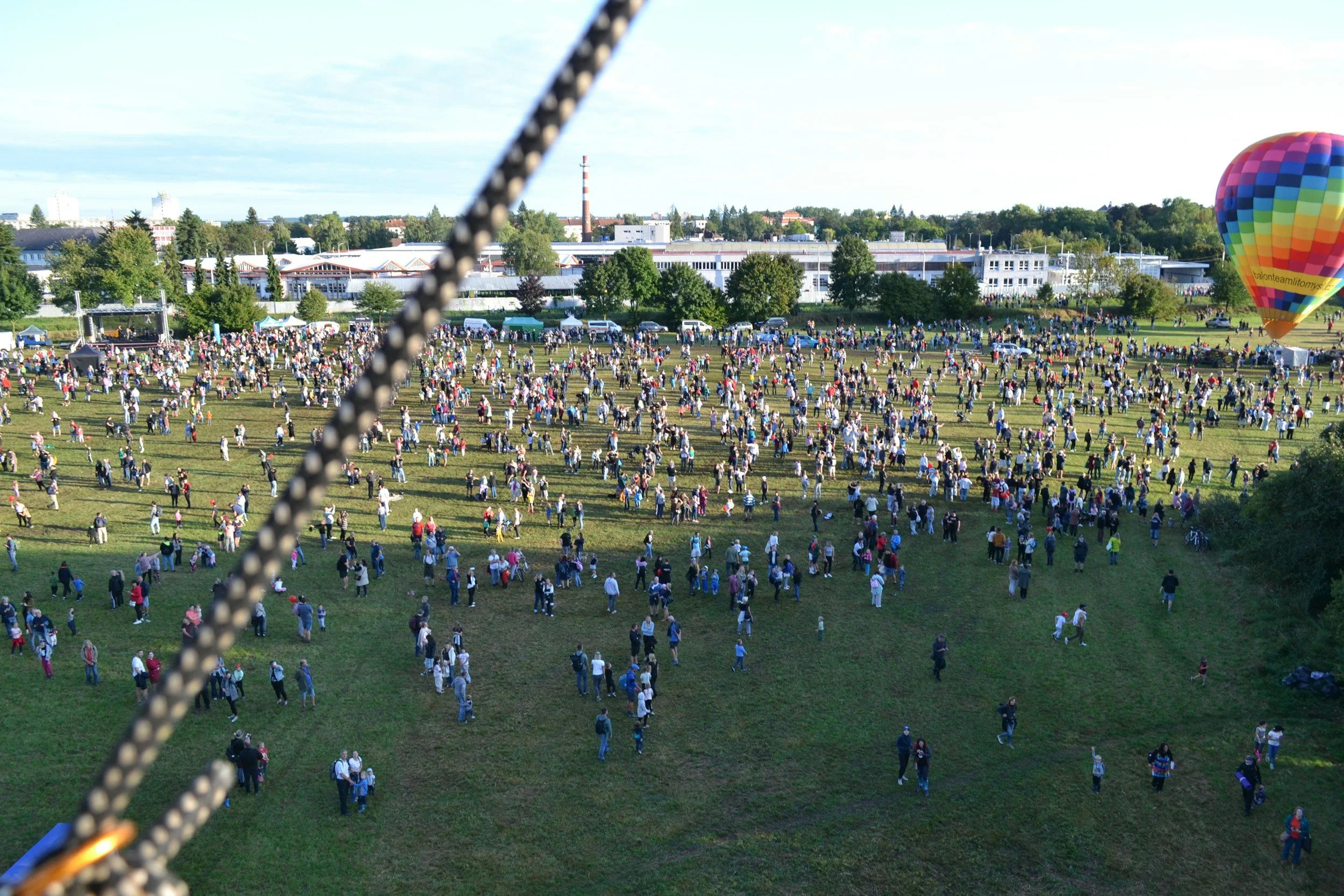
The size and energy of an event
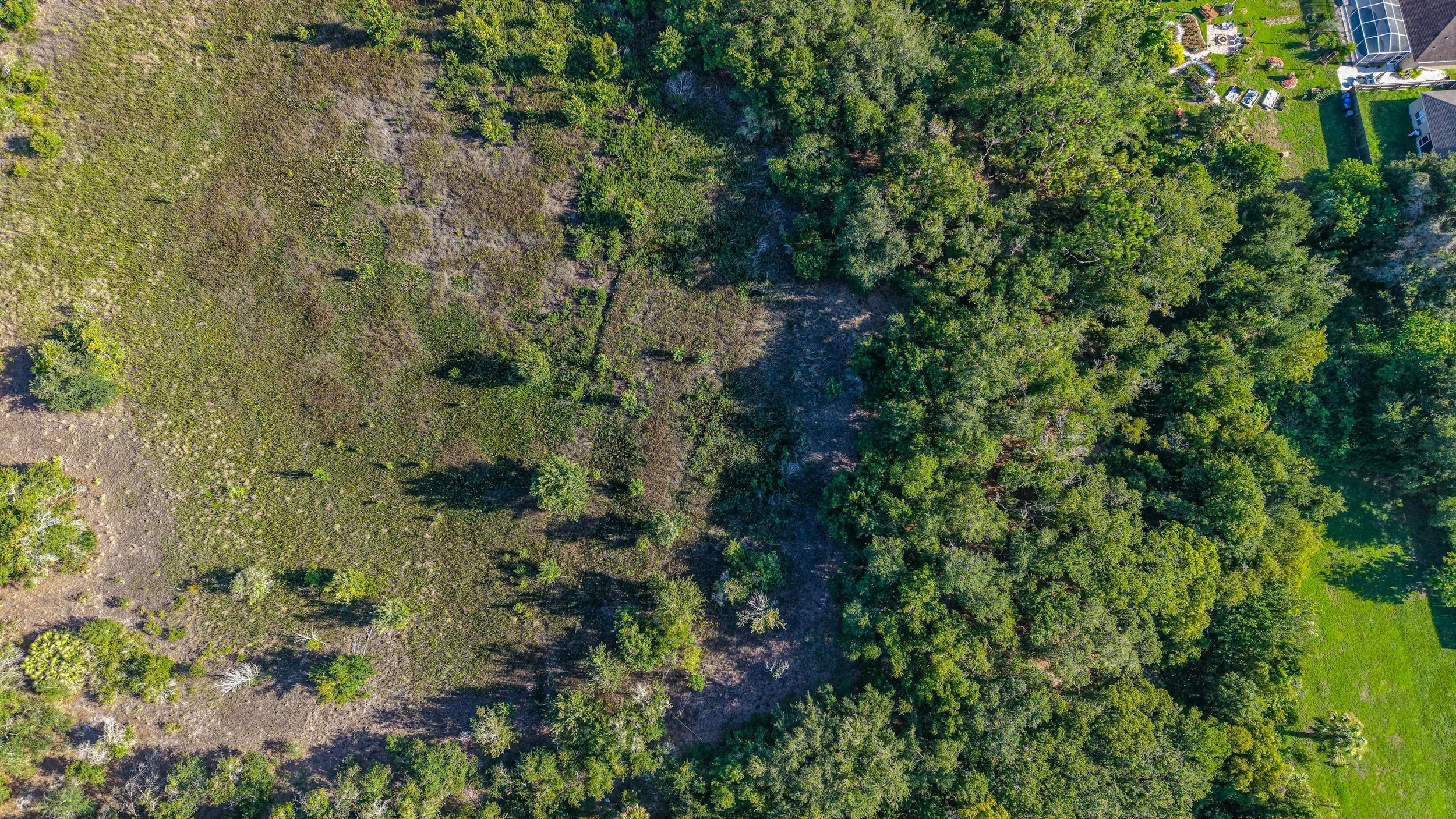
How a building relates to its surroundings
A stronger establishing view for a website or promotional video
The goal is not simply to put a drone in the air.
It is to determine what the viewer needs to see, then capture the perspective that communicates it clearly.
Website & Branding
Show More Than the Building
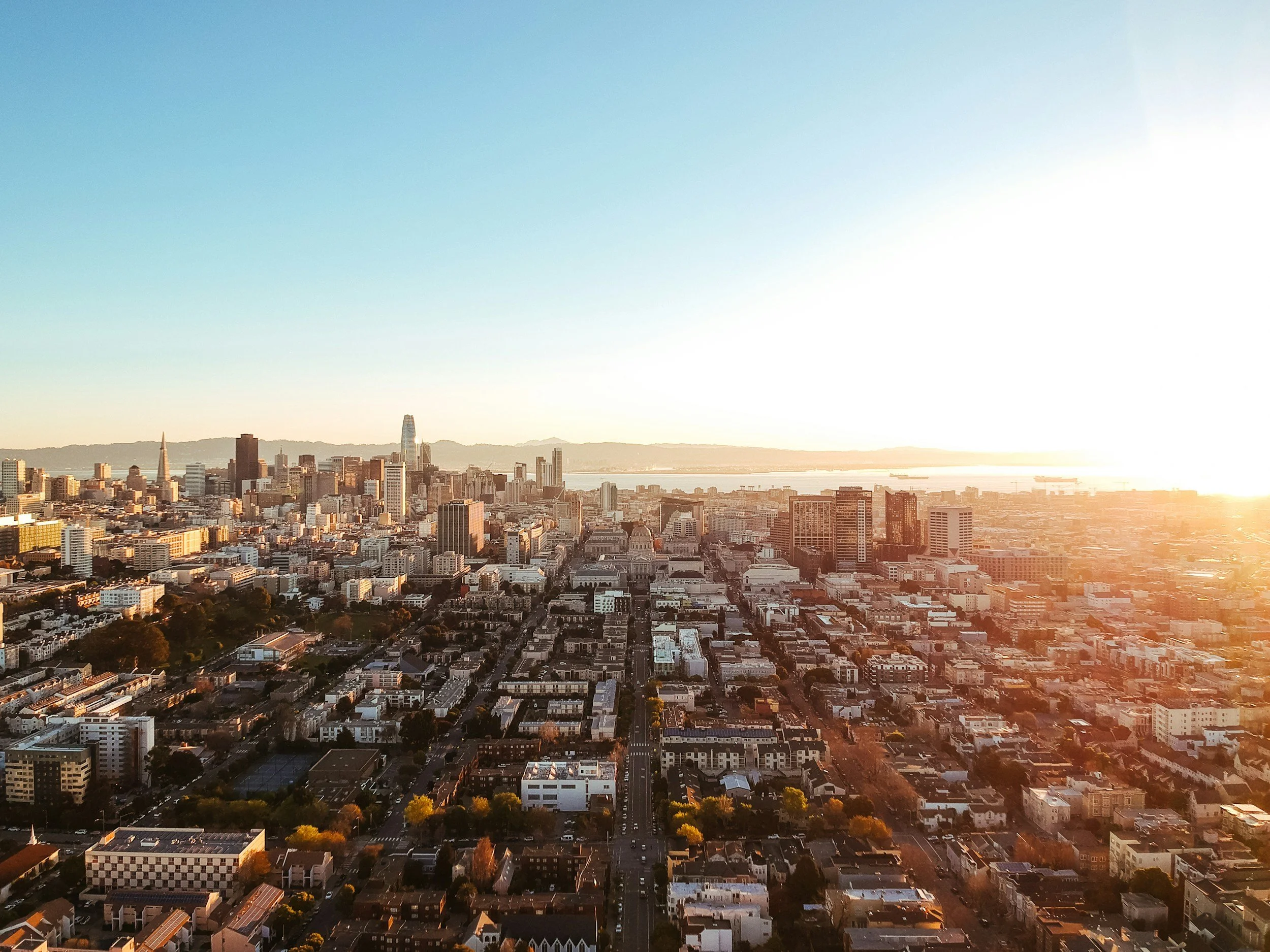
For businesses with a physical location, aerial imagery can help tell a much larger story.
A traditional exterior photograph shows the building.
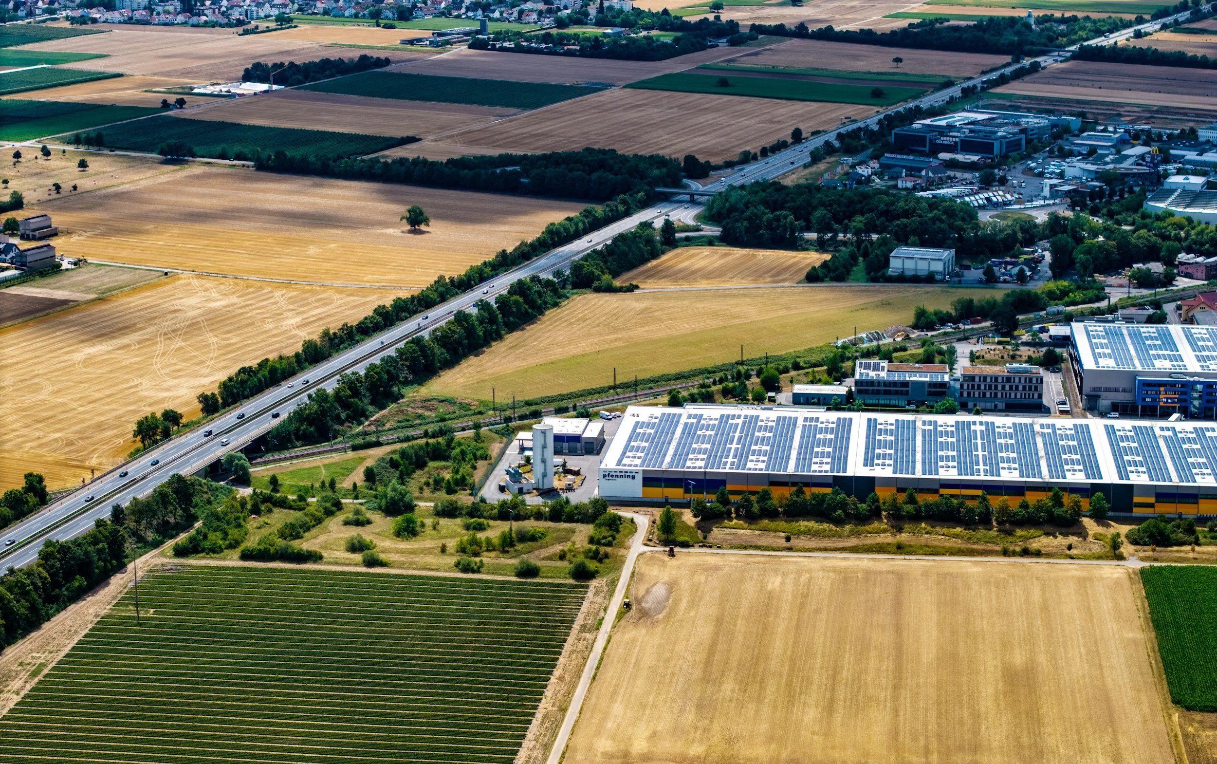
An aerial perspective can show the property, surrounding area, access, scale, and environment around it.
Drone photography and video can support:
Website hero images
Brand videos
Location introductions
Google and digital marketing
Commercial properties
Medical and professional offices
Hospitality and destination businesses
Multi-location organizations
Social media and advertising
Aerial content can also be combined with ground-level photography and video to create a more complete visual library.
The goal is a consistent view of the business from the ground up.
Construction Monitoring
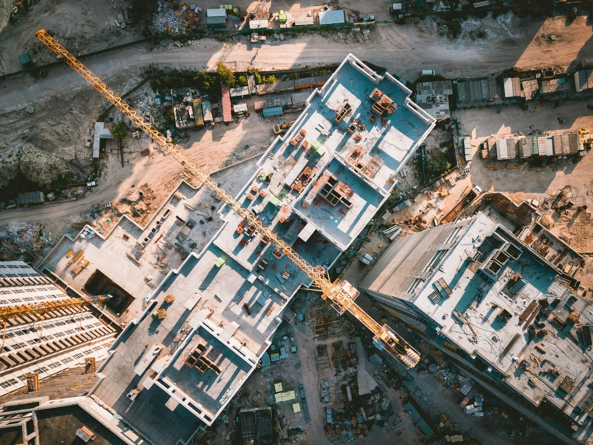
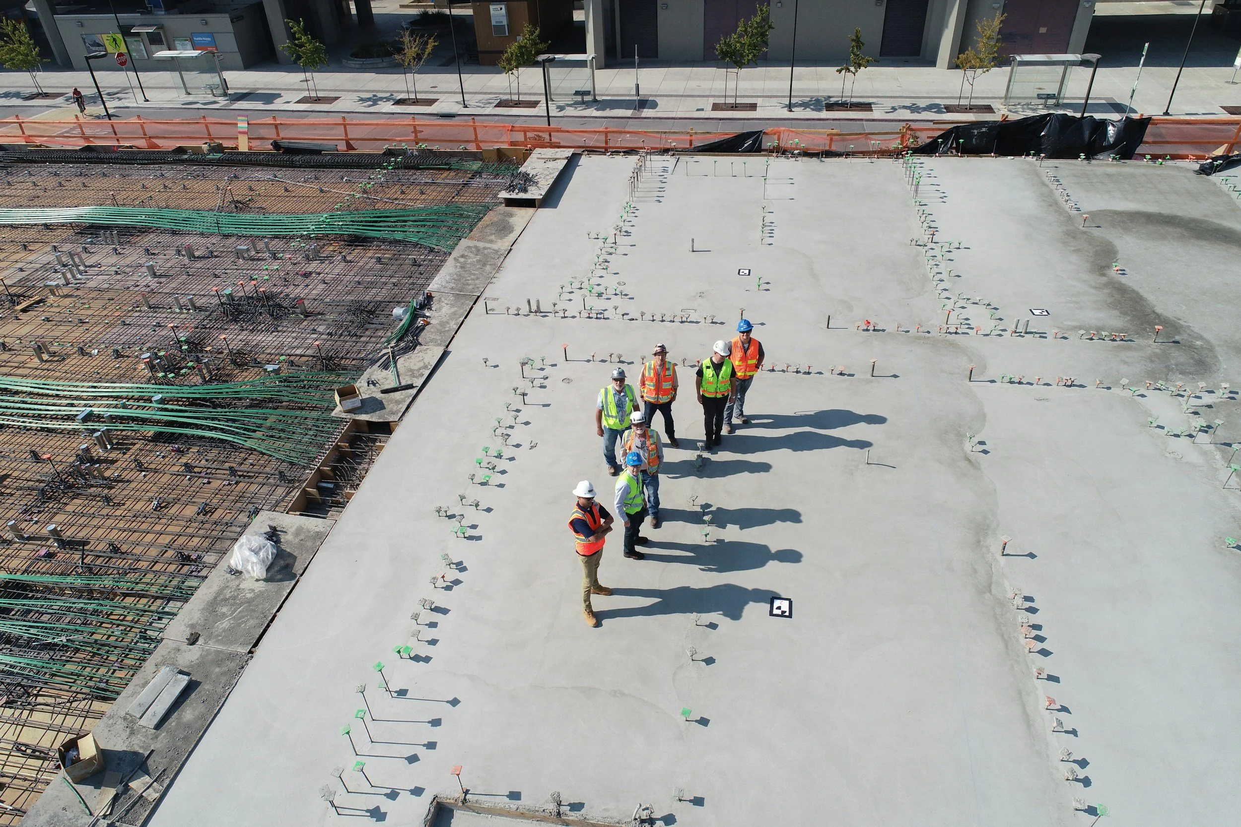
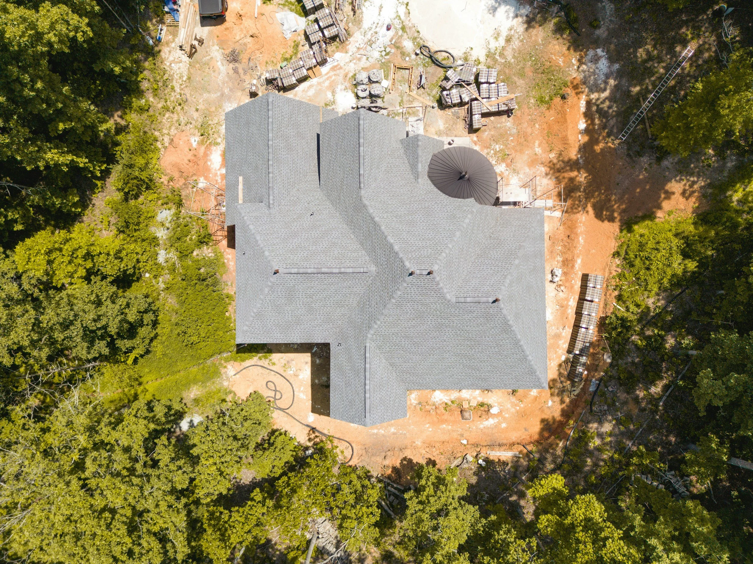
Document Progress With Perspective
Construction projects change quickly.
Consistent aerial photography and video can create a visual record of that progress while making it easier to understand the overall site from a perspective that is difficult to capture from the ground.
Construction drone services can include:
Scheduled progress photography
Recurring aerial views from consistent perspectives
Wide site documentation
Exterior construction progress
Building and property context
Milestone photography and video
Marketing and stakeholder imagery
Final project photography
For recurring projects, flights can be planned around key construction milestones or a regular documentation schedule.
The result is a visual timeline that can support project records, stakeholder communication, marketing, and the story of the completed build.
Events
Show the Scale of the Experience
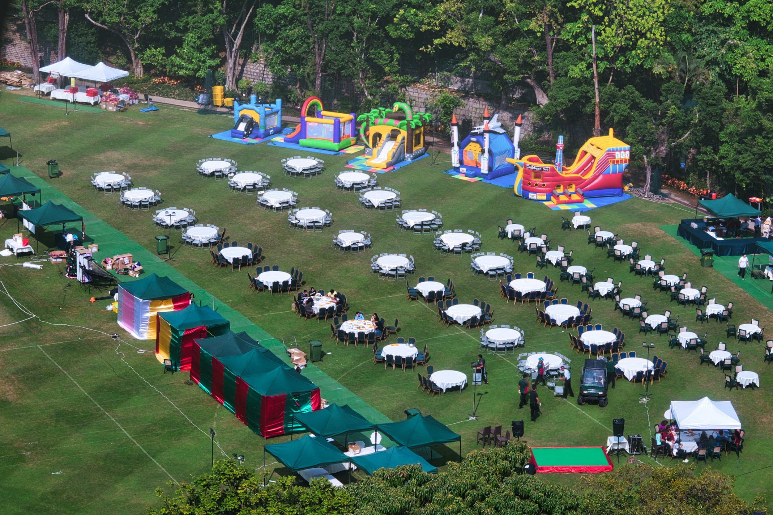
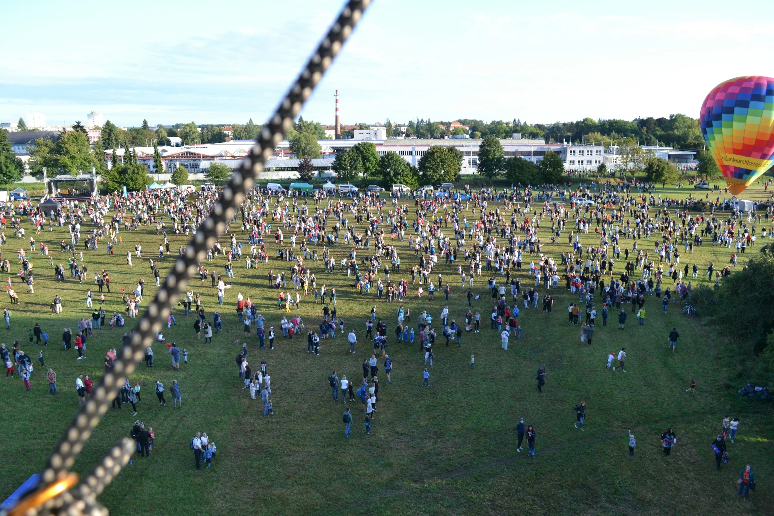
Some events are difficult to understand from ground level alone.
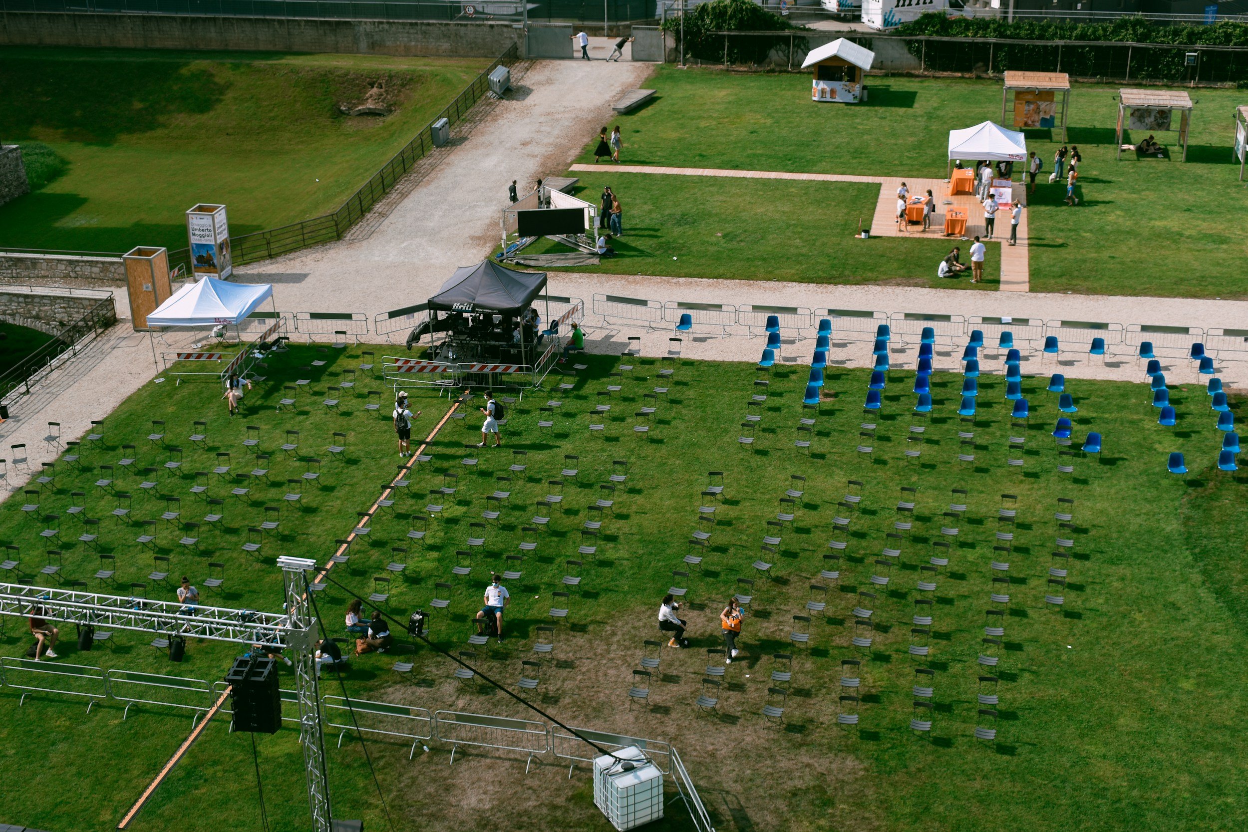
Aerial photography and video can establish the venue, attendance, environment, and overall scale before moving into the closer moments happening on the ground.
Drone coverage can complement traditional event photography and video for:
Corporate events
Community events
Outdoor gatherings
Grand openings
Festivals
Sporting events (not professional)
Commercial activations
Venue and property events
When combined with ground-level coverage, aerial imagery can help tell both sides of the story:
the individual experience and the scale of the event around it.
One Project. Multiple Perspectives.
For many projects, drone coverage is most valuable when it is part of a larger visual plan.
BrianTripPhoto can coordinate aerial imagery with ground-level photography and video so the finished content feels like one visual library rather than separate pieces created by different providers.
That can mean capturing:
Wide
The property, location, event, or project in context.
Medium
The building, activity, people, or environment.
Close
The details and interactions that complete the story.
The result is a more flexible collection of visual assets for websites, marketing, presentations, social media, project documentation, and future campaigns.
How it Works
1. Define the Purpose
We start with where the imagery will be used and what the viewer needs to understand.
2. Plan the Coverage
We identify the location, priority views, timing, ground-level needs, and aerial opportunities.
3. Capture the Project
Drone photography or video is coordinated around the project requirements and conditions on location.
4. Deliver Useful Assets
Final photography and video are prepared around the intended use so the content is ready to support the project beyond shoot day.
Need a Different View of Your Project?
Whether you are introducing a location, documenting construction progress, or showing the scale of an event, the aerial perspective should do more than look impressive.
It should help people understand what they are looking at.
Tell me what you are trying to show, where the content will be used, and what matters most.
From there, we can determine whether drone photography, video, or a combination of aerial and ground-level content makes the most sense.
About BrianTripPhoto
BrianTripPhoto is a Jacksonville, Florida-based photography and video service creating purposeful visual content for businesses, professionals, organizations and commercial projects.
Rather than starting with the camera, each project begins with what the viewer needs to see, understand, and feel. Drone photography and video extend that approach into the air, providing a different perspective when location, scale, progress, or environment are important parts of the story.
Aerial imagery should do more than look impressive. It should have a job to do.
Before You Hire a Drone Pilot
A Few Things Worth Asking Before Takeoff
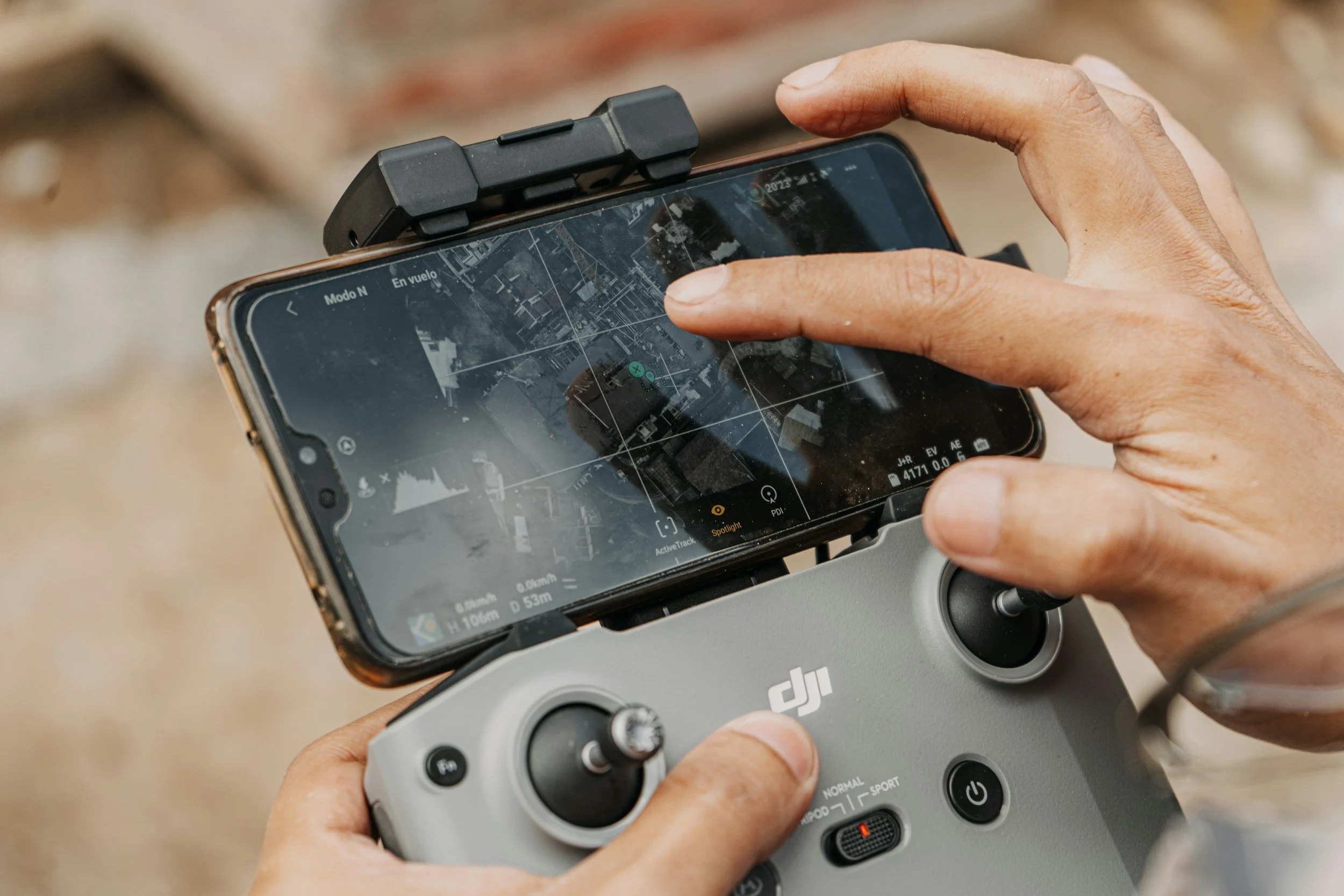
Commercial drone work involves more than having a drone and knowing how to fly it.
Before hiring someone for aerial photography or video, consider asking:
Is the pilot FAA-certified for commercial operations?
Commercial drone pilots operating under Part 107 should hold a current FAA Remote Pilot Certificate.
Is the aircraft properly registered and compliant?
Drones used for Part 107 operations must meet applicable FAA registration and Remote ID requirements.
Has the location and airspace been checked?
Some locations can be flown without additional authorization, while controlled airspace near airports may require FAA approval before the flight.
Does the pilot carry appropriate insurance?
Ask whether the operator carries liability coverage appropriate for your property, project, venue, or organization's requirements.
Has the flight been planned around the actual project?
Weather, people, surrounding structures, airspace, site access, time of day, and the intended images should all be considered before launch.
Do they understand what you actually need from the flight?
The objective should not simply be to get the drone in the air. The pilot should understand where the content will be used and what the aerial perspective needs to communicate.
Drone Services FAQ
Do you need an FAA license to fly a drone commercially?
For most small-drone business operations in the United States, the pilot operates under FAA Part 107 and must hold an FAA Remote Pilot Certificate. BrianTripPhoto operates under FAA Part 107 and holds a FAA Remote Pilot Certificate.
This applies to drone operations performed for work or business purposes, not simply recreational flying.
Can a drone fly anywhere?
No.
The location needs to be reviewed before the project. Some areas are in uncontrolled airspace, while others may require FAA authorization because of nearby airports or controlled airspace.
Temporary flight restrictions and other airspace limitations can also affect whether a planned flight can take place.
I review the proposed location before confirming aerial coverage.
Can you fly near airports?
Potentially, but location matters.
Flights in controlled airspace generally require FAA authorization. In many areas, the FAA's LAANC system can provide authorization for eligible operations based on the location, altitude, and requested flight parameters. 90 days notice is typically required.
This is one reason I prefer to review the project address before shoot day.
Can you fly at night?
Part 107 operations can be conducted at night when applicable FAA requirements are met, including required anti-collision lighting and pilot requirements.
Night flights still need to comply with airspace restrictions and other operational rules.
If nighttime coverage is important to your project or event, it should be discussed during planning rather than added at the last minute.
Can you fly over people at an event?
Drone operations over people are subject to specific FAA requirements and cannot simply be assumed to be permissible because the event organizer approves the flight.
For events, I evaluate the venue, crowd layout, flight path, aircraft, airspace, and intended coverage before determining what aerial shots can be captured safely and legally.
In some situations, the strongest solution may be to capture aerial establishing footage before guests arrive or use flight paths that avoid operating directly over crowds.
What can prevent a scheduled drone flight?
Conditions that can affect a flight include:
Weather
High winds
Rain
Airspace restrictions
Temporary flight restrictions
Unsafe site conditions
Crowd density
Obstacles or nearby structures
Aircraft activity
Property or venue restrictions
Safety and legal flight requirements always take priority over capturing a particular shot.
When possible, alternate approaches can be planned in advance.
Do I need to provide permission to fly from my property?
For private properties, construction sites, venues, or controlled locations, site access and property permissions should be discussed before the project.
For construction and event work, I may also need to coordinate with a site manager, venue representative, general contractor, or other responsible party so the flight can be planned safely around ongoing activity.
Do you carry drone liability insurance?
Proof of applicable coverage can be provided when required for a commercial property, construction project, venue, or organization.
If your company or venue has specific insurance requirements, please let me know during project planning so they can be addressed before the flight.
How far in advance should I book drone services?
For straightforward projects in accessible airspace, planning can often be relatively simple.
Projects involving controlled airspace, construction sites, large events, special access, or specific timing may require additional coordination.
The earlier I have the project address, intended date, and desired coverage, the easier it is to evaluate the location and plan appropriately.
Aerial Coverage Starts Before Takeoff
A successful drone project begins with more than choosing a flight path.
It starts with understanding:
What are we trying to show?
Who needs to see it?
Where will the content be used?
What perspective communicates it most clearly?
From there, I can evaluate the location, flight requirements, and the right combination of aerial photography, video, and ground-level content.